


Hiking itinerary
-
Distance 4.5km
-
Change in altitude (uphill) 384m
-
Departure Talloires-Montmin
-
Duration 02h30
-
Difficulty Medium
- Maximum altitude 769m
Opening period
All year round.
Subject to favorable snow and weather conditions.
Description
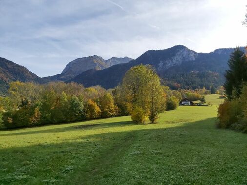
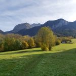
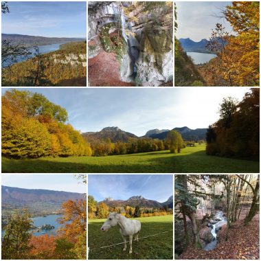
Nice walk with sublime panoramas of the Bornes massif. La Tournette sits at 2353 meters on the lake like a sleeping giant, the Bauges massif on the other side rivals in beauty and makes walkers want to conquer new heights! (some ideas for routes also offered on ViAnnecy)
This hike is almost accessible all year round, however we do not recommend it after heavy rains, use trekking poles, especially for the descent.
Useful information :
Car parks: at the beach (fee from june to september)
Bus (strongly recommended): line 20 Angon stop - route des vignes (in summer additional SIBRA lines)
Signs: Yellow arrows and directional signs
Walking shoes recommended especially for the falls
Facilities
- Hiking itinerary
Services
- Pets welcome
Price
Free access.
- Route des Vignes - Angon
- Angon
- 74210 Talloires-Montmin
Find this route on your smartphone thanks to our ViAnnecy application.
Find this route on our ViAnnecy application