


Opening period
From 01/01 to 31/12.
Accessible outside of snowy periods depending on weather conditions. Contact the Tourist Office beforehand for information on current conditions.
Description
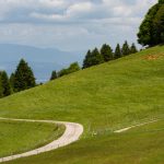
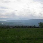
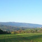
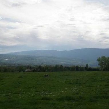
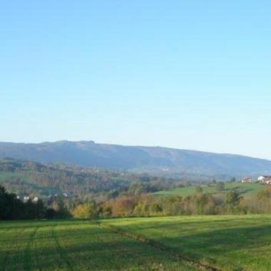
A long continuous climb up to La Chapelle-Rambaud, the highest peak of the Bornes mountain range, gives you a chance to you explore the forest trails from the plateau that bring you to the foot of Le Salève, which you then follow, finishing with a downhill section.
Departure point / TER: Annemasse
Length: 55 km
Difficulty: red
Total ascent: 600 m
Direction: clockwise
Landmarks and connections: Etrembières (joint start with Circuit du Salève no. 20 to Viaison); Régnier (reverse junction with Circuit de la Pierre-aux-Fées no. 24); Etaux (reverse junction with Plateau des Bornes sud no. 21); les Petits Pierres (D27); chez Fauraz (D15)
Half uphill and half downhill: that's the general, logical profile of this circuit, which climbs to and from the plateau. Don't start out too strong! You'll appreciate it all the more when you reach the high point, where the slope gradually steepens. But from Chapelle-Rambaud onwards, you'll be on a permanent descent.
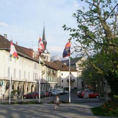
A few key points not to miss at the start: after the Etrembières bridge, turn left onto the D2, which is heavily trafficked. But you'll leave it 3.5km further on, at a place called Viaison. From then on, you'll be on a quiet road, except after Reignier, where you'll follow the D2 again for 1.5km before turning off towards Jussy. The last point where you'll need to be vigilant: after passing through the charming village of Etaux and crossing the A41, you'll have to cross the N203 before continuing your ascent towards Chapelle-Rambaud.
Documents
Facilities
- Cycle tourism route
Price
Free access.
Information updated by Conseil Départemental de la Haute-Savoie