Roc des Boeufs 1774 - Chalets du Sollier - par la Chapelle Saint-Maurice
La Chapelle-Saint-Maurice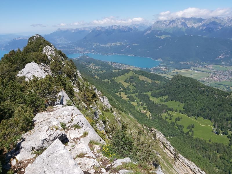
Hiking itinerary
-
Distance 8km
-
Change in altitude (uphill) 700m
-
Departure La Chapelle-Saint-Maurice
-
Duration 04h00
-
Difficulty Hard
- Maximum altitude 1774m
Opening period
From 23/04 to 01/11.
Subject to favorable snow and weather conditions.
Description
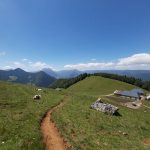
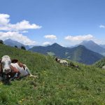
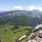
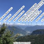
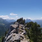
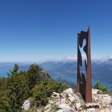
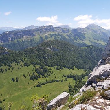
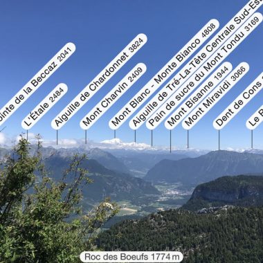
A rather sporty round trip, 700 metres of difference in height over less than 4 kilometres and above all an aerial arrival on a slightly narrow ridge, but what a 360 degree view over the lake and the Alps up to Mont Blanc.
If you are afraid of heights, don't go!
It is preferable to leave early in the morning, in order to avoid the crowds at the summit! If you are planning a picnic you may not be able to eat it on the spot (but be careful to respect the meadows and mountain pastures)
How to get there :
- At the exit of the village of La Chapelle Saint-Maurice turn left onto the Chemin de la Cudraz, drive past the farm to the end of the road, after a few metres on a path park in a wide bend.
Some recommendations:
- This hike is to be undertaken in dry weather, from June to the first snow (but never in fog or stormy weather)
- Bring good walking shoes and walking sticks if possible, the descent is sometimes more difficult than the ascent
- Bring water (beware: the water at the Sollier chalets is not fit for human consumption)
- Please stay on the paths and do not cut through the alpine pastures and do not pick up flowers (private property reserved for the herds)
- Close all enclosures behind you
Have a good walk!
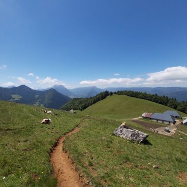
The first part to the Chalets du Sollier can be done without climbing to the top of the rock. Detailed route on this same application.
Facilities
- Hiking itinerary
Services
- Pets welcome
Price
Free access.
- Route de la Cudraz
- 74410 La Chapelle-Saint-Maurice
Find this route on your smartphone thanks to our ViAnnecy application.
Find this route on our ViAnnecy application
