


Hiking itinerary
-
Distance 8.3km
-
Change in altitude (uphill) 487m
-
Departure Fillière
-
Duration 03h30
-
Difficulty Medium
- Maximum altitude 1794m
Opening period
All year round.
Subject to favorable snow and weather conditions.
Description
This hike of average difficulty with a few harder parts is still accessible to everyone who enjoys walking, including children.
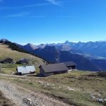
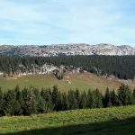
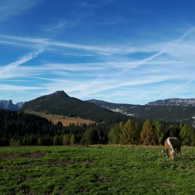
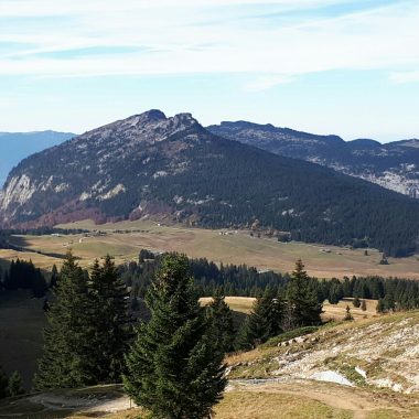
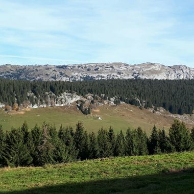
The higher you will go, the wider will your point of view be, discovering an amazing panorama over the Aravis range, the Jalouvre (Bargy), the Lachat de Thônes, the Parmelan, and of course, the Mont Blanc and the Glières Plateau.
In summer, a cowbell chorus will give rhythm to your steps. Take a break during the hike to discover the life of the alpine inhabitant and taste the Reblochon fermier and the goat cheese. A restaurant at the car park and a shelter at the top will be good places to have a snack or a drink.
In winter, this hike can be made by most amateur hikers who know how to use snowshoes and know the place. Follow the markings !
Facilities
- Hiking itinerary
Services
- Pets welcome
Price
Free access.
- Chemin du Collet
- Thorens-Glières
- 74570 Fillière
Find this route on your smartphone thanks to our ViAnnecy application.
Find this route on our ViAnnecy application