Hiking itinerary
-
Distance 6.2km
-
Change in altitude (uphill) 269m
-
Departure Saint-Eustache
-
Duration 02h00
-
Difficulty Very easy
- Maximum altitude 891m
Opening period
All year round.
Subject to favorable snow and weather conditions.
Description
The Fournis loop will change you the shores of Lake Annecy and for you to ascend and admire a different landscape on a walk without much difficulty.
It allows to focus on the villages overlooking the lake. The village of Saint-Eustache and its various hamlets will be the scene of your hike.
Path registered with the PDIPR (Departmental map for walking and hiking routes).
Advice
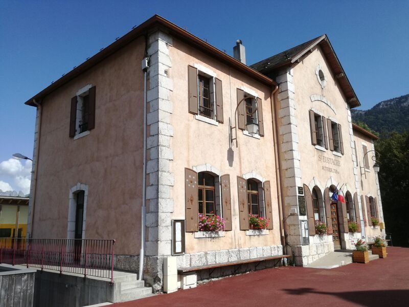
Appreciate the fountain next to the town hall, to cool off and to fill your bottle. The water is drinkable.
There are only a few parking spaces at the beginning of this hike so be there early.
Recommendations
Adapt your hike based on your physical abilities, weather and road conditions.
You are responsable for your own safety
Respect the private properties, close the gates behind you
Keep your dogs on a leash.
Respect the natural spaces, don’t leave any waste.
To contact the emergency services, dial 112.
Facilities
- Hiking itinerary
Services
- Pets welcome
Price
Free access.
- D10
- 74410 Saint-Eustache
Find this route on your smartphone thanks to our ViAnnecy application.
Find this route on our ViAnnecy application