Hiking itinerary
-
Distance 10.4km
-
Change in altitude (uphill) 882m
-
Departure Fillière
-
Duration 04h30
-
Difficulty Hard
- Maximum altitude 1989m
Opening period
All year round.
Subject to favorable snow and weather conditions.
Description
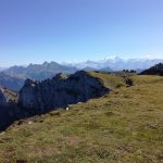
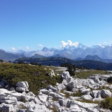
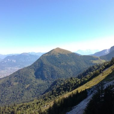
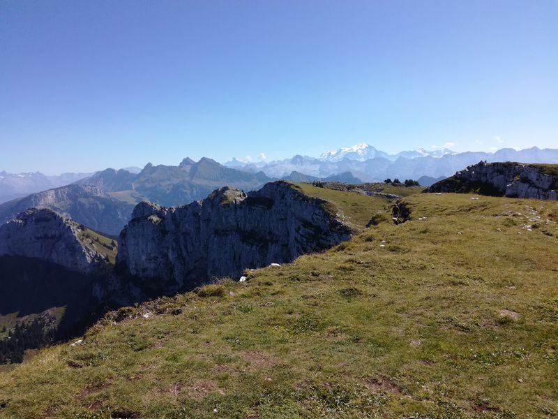
This beautiful hike will delight keen walkers and offer a superb panoramic view over the northern Alps, Mont Blanc, Lake Geneva, the Aravis mountains, the Glières plateau and the Arve valley.
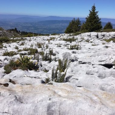
One of its assets is that takes walkers across a karren plateau in a magnificent mineral setting!
With a bit of luck, you’ll get to observe the chamois and admire some amazing alpine flora such as edelweiss, martagon lily and yellow gentian!
Take your binoculars and camera with you, and possibly some walking poles.
To reach the hike’s departure point, allow about a 50 minute drive from Annecy centre. Follow the signs towards Villaz, Aviernoz, then Thorens-Glières. Then take the road towards Mont Piton and Les Cheneviers. You’ll find Cheneviers car park, your departure point, at the end of the road at an elevation of 1,090 metres. Your ascent is via the Passage de Monthieu (Combe Arembeau) and the descent via the Trou de la Pierre and the Col de l’Enclave.
The best time of year to walk to the Sous Dine cross is in spring or summer when the mountain vegetation is in full bloom.
We do not recommend you take this itinerary in poor weather conditions because the path can get slippery. This hike is not recommended for children.
Documents
Facilities
- Hiking itinerary
Services
- Pets welcome
Price
Free access.
- Route des Cheneviers
- Thorens-Glières
- 74570 Fillière
Find this route on your smartphone thanks to our ViAnnecy application.
Find this route on our ViAnnecy application