Hiking itinerary
-
Distance 13.5km
-
Change in altitude (uphill) 914m
-
Departure Talloires-Montmin
-
Duration 05h30
-
Difficulty Hard
- Maximum altitude 1649m
Opening period
All year round.
Subject to favorable snow and weather conditions.
Description
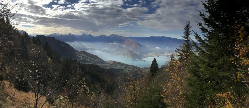
This beautiful hike starts at the Acro’Aventures car park in Talloires. The first section, up to the Col des Frêtes via the forest, is fairly steep but once on the ridge the path levels out across the Aulp Riant alpine pastures and becomes relaxation itself! This itinerary is full of incredible viewpoints.
If you make the climb in summer you can also enjoy a meal at the Froulaz chalet. (Take a picnic if you haven’t phoned ahead!)
Our recommendations:
* Period: spring, summer, autumn and winter, snow cover permitting
* For good walkers
* Hiking shoes
* Walking pole(s) recommended for the steeper sections
* Picnic, water and appropriate gear for the weather conditions.
Facilities
- Hiking itinerary
Services
- Pets welcome
Price
Free access.
- Route de Planfait
- Talloires
- 74290 Talloires-Montmin
Find this route on your smartphone thanks to our ViAnnecy application.
Find this route on our ViAnnecy application